Survey for Hydrological Study of The River Yar - IOW
Hydrological study to help inform a solution to flooding management in an area of outstanding natural beauty and scientific interest.
Infrastructure Design
Environmental Assessment
Details
Hydrological study to help inform a solution to flooding management in an area of outstanding natural beauty and scientific interest.
Mayer Brown was commissioned by Atkins, on behalf of the Environment Agency to assist in the hydrological study of the River Yar to assist in managing the flood plain area and to establish the most cost effective solution to enhance drainage and manage an area of outstanding natural beauty and special scientific interest.
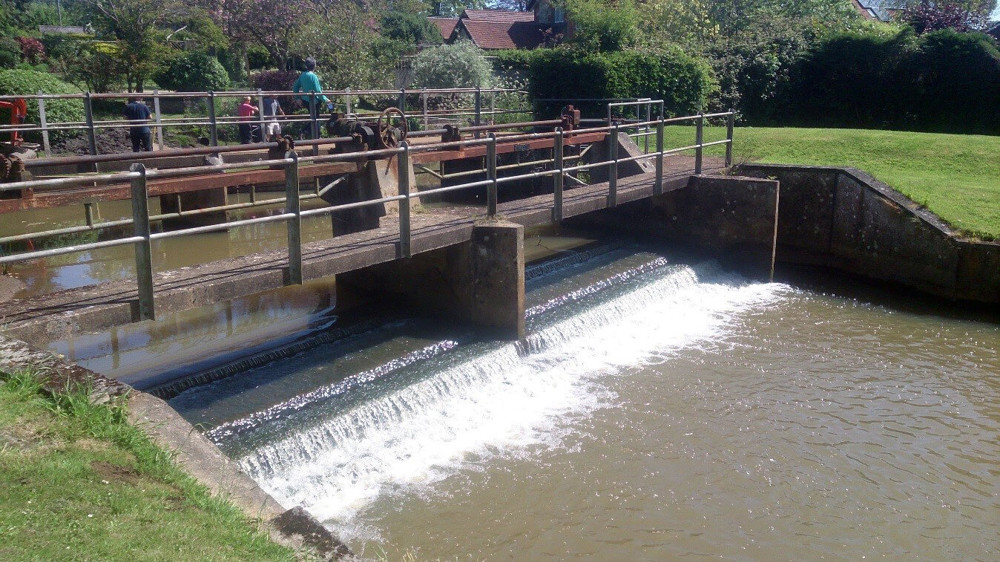
Mayer Brown was requested to provide survey data of the River to construct river sections and gain height information of various sluices, culverts and bridges throughout the river area, (near Alverstone IOW). The site measured approximately 1500m x 200m and due to budgetary constraints by the Environment Agency, had to be surveyed in one day, with the information drawn up the following day.
Due to the size of the area and the level of information required in the allotted time, Leica Viva GS15 RTK GPS in conjunction with Leica Viva TS15 Total station were deployed to maximise productivity and provide accurate data which meets the standards of Environment Agency Specifications (Ordnance Survey bench marks are no longer maintained and the EA requires a minimum occupation using RTK GPS to obtain accurate height information relating to Ordnance Survey Datum). This was of utmost importance due to the nature of the work.
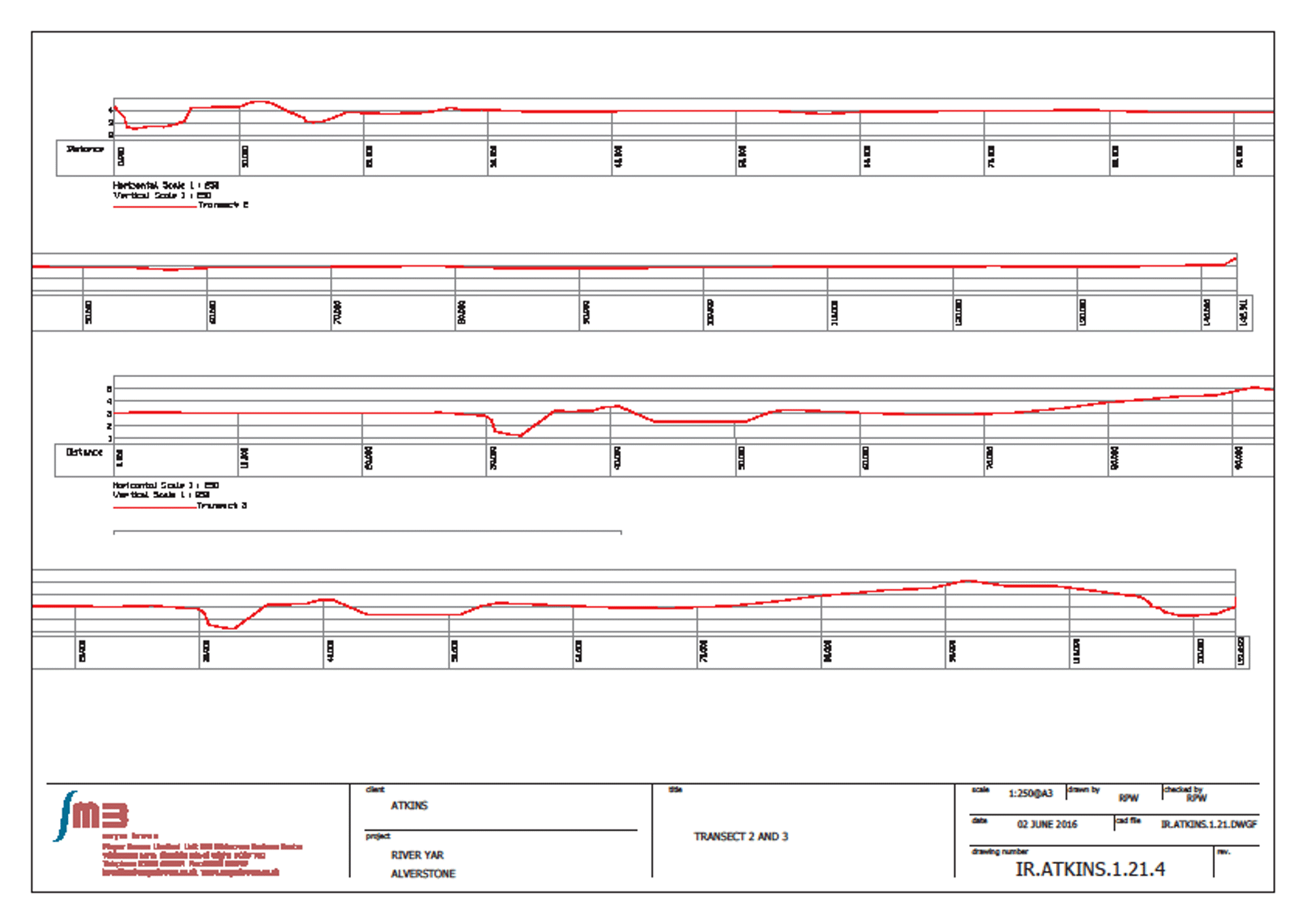
With waders at the ready, six 250m long river and flood plain sections were surveyed using the GPS. Where most of the river detail was under thick foliage the Total Station was deployed to survey 10 sluices, culverts and bridge details. (This was still tied into Ordnance Survey OSGB 36 Co-ordinates by resecting points measured by the GPS and TPS concurrently)
The data was duly processed and output as AutoCAD data in 2D and 3D. CSV files were also provided to enable the hydrologist to analyse the information without expensive AutoCAD software.
For further information please contact enquiry@mayerbrown.co.uk

This former school site became surplus to requirements as a result of educational reorganisation on the Isle of Wight and has been acquired by the Vectis Housing Association to provide a new…
Mayer Brown were commissioned by Berkeley Homes Ltd. to produce Topographical, Measured Building and Elevation surveys of a former Police Station in Barnes, West London.

A ground breaking ‘future village’, utilising a central IT hub and driverless cars, was proposed for a site at Lower Farm in Stoneythorpe, Southam. With HS2 running through the site it was necessary…
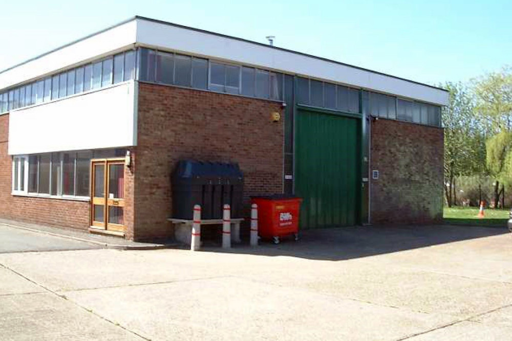
Mayer Brown was appointed by St Clair Developments Limited to provide transport planning advice for the redevelopment of a small commercial business park close to M40 Junction 5.
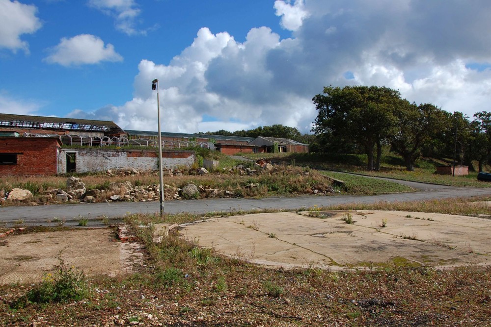
This brownfield site on the eastern bank of the Medina Estuary is owned by Feria Investments Ltd., who appointed Mayer Brown as part of the team tasked with gaining planning approval for its…
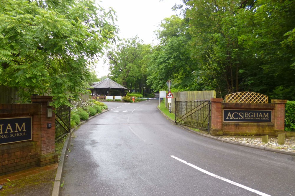
In our capacity as Lead Principal Consultant, this project comprised the design of a proposed reconfiguration of the access arrangements and internal access roads at the ACS International School…
Please leave us your details and we will endeavour to call you back as soon as we can.